Phong Nha in the Vietnam War: caves, the Ho Chi Minh Trail and the Eight Ladies
The Hang & Trail team · May 12, 2026
Phong Nha's caves sheltered hundreds of people during the American bombing. The Ho Chi Minh Trail ran through the park. Here is the history you'll feel as you ride through it.
The short version
Phong Nha sat in one of the most heavily bombed provinces on earth between 1965 and 1972. Its caves became hospitals, ammunition stores and shelters for thousands of people. The Ho Chi Minh Trail ran straight through the karst here on Road 20 Quyet Thang, and the memorial at Hang Tam Co, the Eight Ladies Cave, where eight young volunteers were sealed in by a bomb in November 1972, is one of the most affecting wartime sites in Vietnam. You can ride past most of it in a long half day, and the riverside town you stay in is Km0 of the whole trail.
Why Phong Nha got bombed so hard
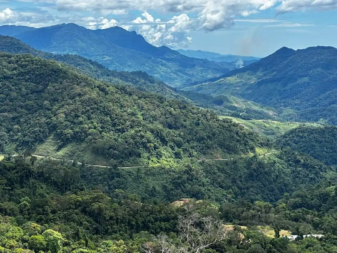
Phong Nha is in Quang Binh province, just north of the 17th parallel, the line that split North and South Vietnam after 1954. Supplies and troops moving from the North to the southern battlefields ran along the Ho Chi Minh Trail, a sprawling web of roads, footpaths, river crossings and hidden depots through the jungle and the limestone. Road 20 Quyet Thang, which means Determined to Win, ran west out of Phong Nha to Laos and linked the eastern and western arms of the trail. Cut Road 20 and you slowed the whole supply chain, so the Americans tried to cut it for years.
The scale of the bombing across Vietnam is hard to take in. US forces dropped somewhere around 7 million tonnes of ordnance on Indochina, more than was used in all of World War Two. Quang Binh was one of the most pounded provinces in the country, and the legacy is still in the ground. Today every commune in the former province is recorded as contaminated with unexploded ordnance, and clearance teams like MAG have been pulling bombs out of this soil since 2003. That is not history. That is a live hazard the moment you step off a known path.
Phong Nha Cave as a wartime hospital and store
The cave that gave the area its name became a field hospital and an ammunition and supply store during the war, protected by hundreds of metres of limestone over its chambers. The river you float in on today is the same one medics and soldiers used to move people and crates deeper inside, away from the planes. The lit galleries that draw tourists now once held patients, munitions and food bound for the front.
The Americans eventually worked out what the cave was. The story locals tell is that they only managed to land one bomb inside the entrance before giving up, and you can still see where the blast sheared formations off the cave mouth. Hold that in your head when the boat cuts its engine and drifts into the dark. The same silence that makes the cave beautiful is what made it useful.
Phong Nha Cave is the easiest war site here to visit, because you would see it anyway. Entry is $6 (150,000 VND) plus a shared boat from the Son Trach station in town. Prices checked June 2026.
Road 20 Quyet Thang and the youth who built it
Road 20 was hacked through the mountains in an astonishing rush. Work began on 20 December 1965 and the road reached the Laos border by 5 May 1966, around five months to cut roughly 125km through karst and jungle by hand and with light machinery. The name Road 20 comes from the age of the people who built it. Most of the soldiers, frontline labourers and Youth Volunteers were in their twenties, and thousands of them never made it home. Estimates put the dead along Road 20 in the thousands over the course of the war.
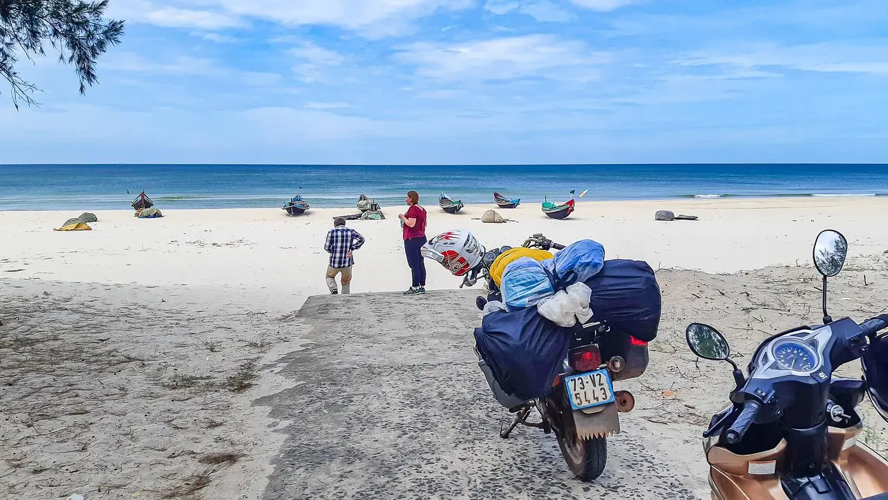
You start your trip on this road without realising it. Phong Nha town is Km0. The marker sits near Xuan Son, the river ferry crossing that carried trucks and supplies over the Son River when the bridges were gone. The ferry ran a hand-pulled boat by day and worked through the night under flares and falling bombs, and a second crossing was opened nearby just to split the enemy's attention. It is now a recognised national historical site, a quiet spot on the water that does not look like much until you know what it cost to keep open.
Hang Tam Co, the Eight Ladies Cave
On 14 November 1972, a team of eight Youth Volunteers from Hoang Hoa district in Thanh Hoa province was sheltering in a small cave at Km16 on Road 20 when American bombing hit the slope above them. Their job was the brutal, endless work of the trail: cutting road through the mountain, filling bomb craters, keeping the trucks moving. The team was four men and four women. Seven of them were aged between 18 and 20. A bomb brought down a slab of rock, said locally to weigh around a thousand tonnes, across the only mouth of the cave and sealed them inside.
What happened next is the part that stays with people. The rock was too big to move and too dangerous to blow without killing whoever was still alive behind it. Rescuers fed a pipe through a gap and poured in water and thin soup, not knowing if any of it reached. The faint voices from inside lasted around nine days and then stopped. The remains of all eight were not recovered until 1996, twenty-four years later, when the site was finally opened.
The cave is now a memorial. There is a temple, an altar, the names of the eight, and the cave mouth itself behind incense smoke. It is free to visit and it is not a tourist set piece. Vietnamese travellers stop to light incense and pay respects, and you are welcome to do the same. Buy a bundle at the temple if you want to. Stand there for a few minutes and the abstraction of the bombing numbers turns into eight specific young people who died slowly in the dark.
The caves that sheltered everyone else
Hang Tam Co is the one people know, but the karst here is full of caves that did the quiet work of keeping people alive. Along the stretch from Xuan Son ferry up Road 20, caves and overhangs were turned into stores and shelters for weapons, food and fuel. Tra Ang, west of town, was the base of a military supply station. Other caves around the area served as a stage and meeting hall, a clinic, even a place that brewed rice wine for the troops. The same limestone that pulls cavers and tourists here now was, for a decade, the only roof that could stop a bomb. Most of these sites are unmarked and not on any map, which is exactly why a guide who knows the ground is worth it if you want to find them.
How to visit the war sites today
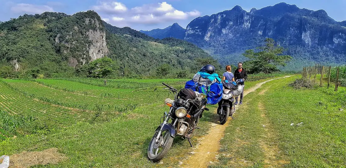
Rent a motorbike or hire a driver and ride the western branch of the Ho Chi Minh Trail loop out of Phong Nha. It is a beautiful, near-empty road through the national park, and the war sites are stitched along it: the Km0 marker and Xuan Son ferry near town, the Eight Ladies memorial out at Km16, and roadside markers and old positions in between. The same loop passes the Mooc Spring eco trail and the Botanic Garden, so it doubles as a proper day out rather than a grim pilgrimage. Give it a full half day, longer if you stop and read.
Several Phong Nha operators run guided versions of this route, and for the history specifically a guide earns the money, because almost nothing out there is signposted in English and the meaning is in the stories, not the stones. If you would rather ride it yourself, go slowly, fuel up in town, and remember the road is shared with the occasional truck.
One rule matters more than any other. Stay on the roads and marked paths. The jungle on either side still holds live unexploded ordnance, decades on, and people in this province are still hurt by it. The view is the same from the tarmac, and the tarmac will not kill you.
Why peace is what put these caves on the map
There is a thread that ties the war straight to the caves you came to see. The international exploration that eventually mapped Phong Nha Cave, then Hang En, Hang Va and finally Son Doong, only got going once the war was over and the country opened up. The British Cave Research Association ran its first survey here in 1990 with Howard Limbert, came back in 1992 to map Phong Nha Cave properly, and kept returning, with Son Doong measured in 2009. None of that happens while the bombs are falling and the karst is a front line. The caves that made this place famous stayed hidden until the fighting stopped, which is a strange and fitting way for the story to turn out.
Common questions
Can you actually go inside the Eight Ladies Cave (Hang Tam Co)?
No, and that is the point. The cave mouth itself is sealed behind the memorial and incense, with the names of the eight on the altar in front of it. This is a place of mourning, not a sightseeing cave you walk into. Vietnamese travellers stop to light incense and pay respects, and you are welcome to do the same. Buy a bundle at the temple if you want to. It is free to visit and it sits out at Km16 on Road 20, so most people fold it into the Ho Chi Minh Trail loop ride from town.
Is it safe to explore off the road around the war sites, given the unexploded ordnance?
Stay on the roads and marked paths, full stop. Every commune in the former Quang Binh province is recorded as contaminated with unexploded ordnance, clearance teams have been pulling bombs out of this soil since 2003, and people in this province are still hurt by it. The view from the tarmac is the same, and the tarmac will not kill you. The unmarked shelter caves off Road 20 are real, but reaching them safely is exactly why a guide who knows the ground matters.
How long does it take to ride the war sites, and can I do it myself?
Give it a full half day, longer if you stop and read. The western Ho Chi Minh Trail loop stitches the sites together: the Km0 marker and Xuan Son ferry near town, the Eight Ladies memorial at Km16, and roadside markers in between, plus Mooc Spring and the Botanic Garden so it works as a proper day out. You can ride it yourself on a rented motorbike if you fuel up in town and go slowly, but almost nothing is signposted in English, and for the history a guide earns the money because the meaning is in the stories, not the stones.
Want this turned into a real plan? Plan my trip →